Project description:
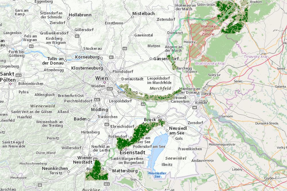
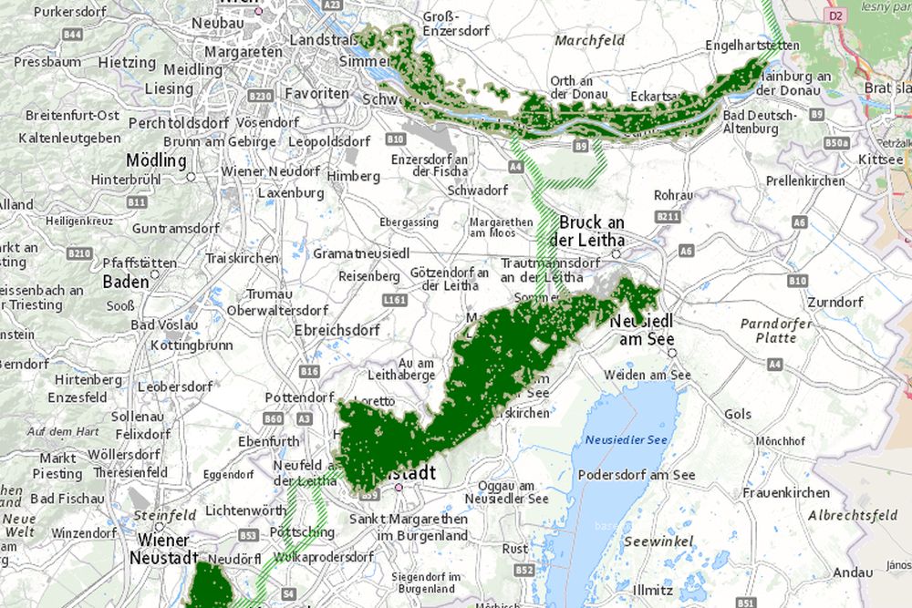
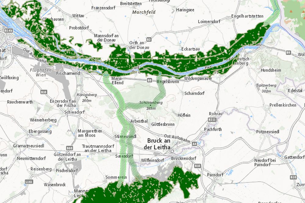
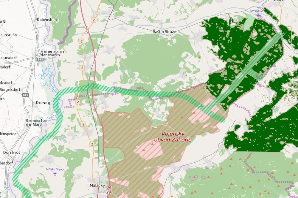
Corridor to restore the ecological connectivity between the Alps and the Carpathians. The Alpine-Carpathian Corridor ist based on a spatial GIS modeling by Universität für Bodenkultur Wien, in collaboration of the Institutes of Vermessung, Fernerkundung und Landinformation, and of Wildbiologie und Jagdwirtschaft. For further informatoin see: http://geo.ivfl.boku.ac.at/
Contact:
DI Franz Suppan
Universität für Bodenkultur
Institut für Vermessung, Fernerkundung und Landinformation
Peter Jordan Straße 82, 1190 Wien
E-Mail: franz.suppan(a)boku.ac.at
Data:
Data is free for download and also available as viewing service. For further information and data download see geodata catalogue.